Project Scope
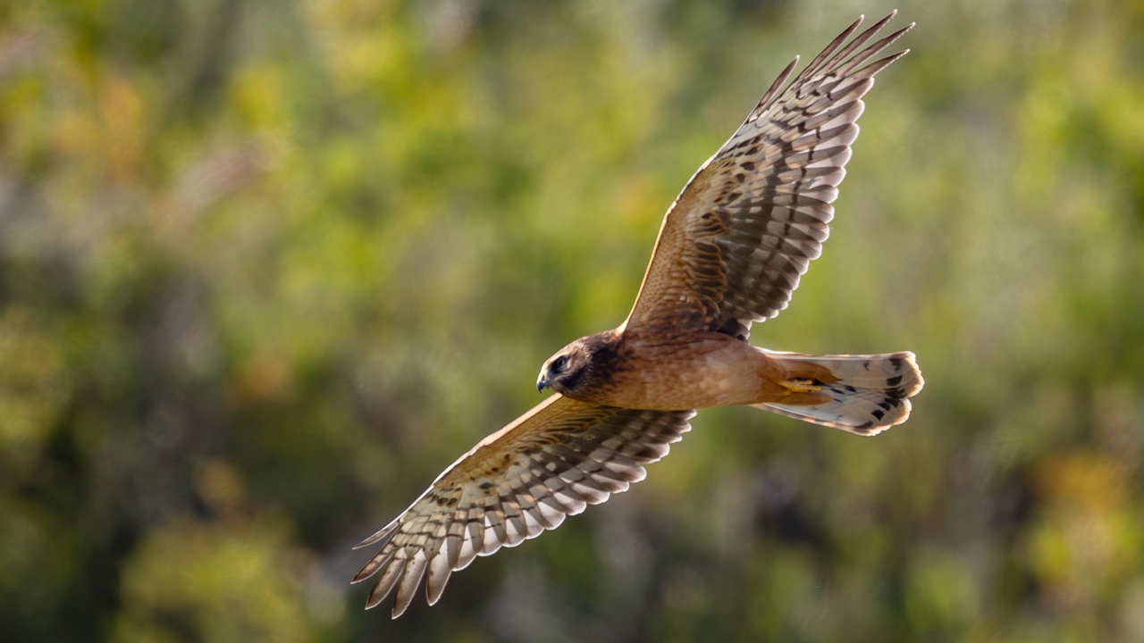
The survey documented species across prairie grasslands, riparian corridors, and valley slopes to establish a defensible biodiversity baseline supporting conservation planning and future monitoring.
Project overview
In 2024, Myotis Lens Environmental conducted a multi-season biodiversity assessment within the Rosebud River Valley of southern Alberta, an ecologically significant prairie river landscape.
Supported by grant funding from the Weston Family Prairie Grasslands Initiative Stewardship Investment Program and undertaken through a partnership between Will Farms and Western Sky Land Trust, the project documented species across diverse habitats to inform conservation planning and long-term stewardship.
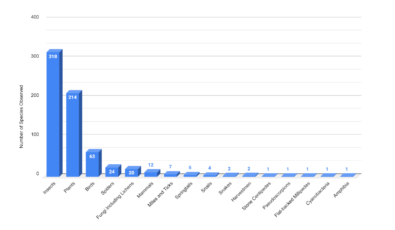
All observations were photo-verified, georeferenced, and published through iNaturalist to support transparent review and ongoing taxonomic refinement. The curated dataset establishes a biodiversity baseline and provides a durable visual and ecological record of the property, supporting long-term stewardship and future biodiversity monitoring and assessment.
The survey documented species across prairie grasslands, riparian corridors, and valley slopes to establish a defensible biodiversity baseline supporting conservation planning and future monitoring.

Multi-season field surveys combined slow habitat meanders, nocturnal light trapping, bat monitoring, and georeferenced photographic documentation. All records were published through iNaturalist for transparent verification and long-term refinement.
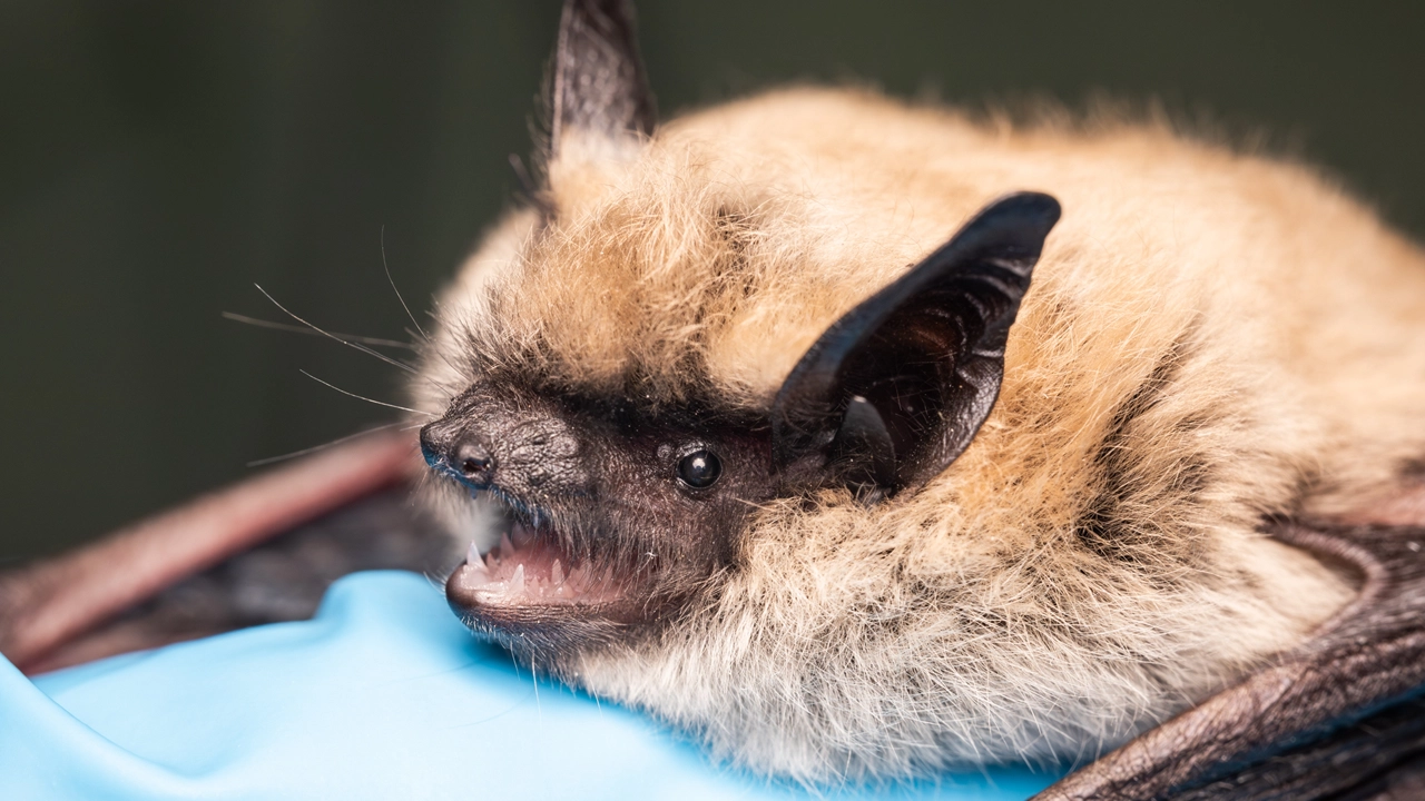
The dataset identified species of conservation concern and provides landowners and the land trust with a structured ecological record to inform stewardship and land management decisions.