Project overview
Drone-Mounted Thermal Imaging as a Screening Tool for Potential Bat Hibernacula
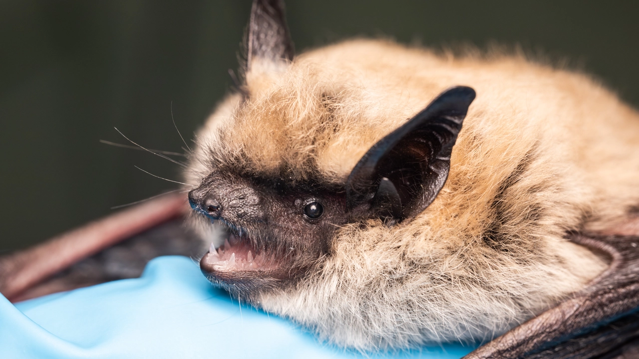
In February 2026, Myotis Lens Environmental conducted a pilot thermal drone survey of prairie coulee cliff systems in the Rosebud Valley, Alberta, evaluating drone-mounted thermal imaging as a screening tool for potential bat hibernacula.
Working under contract with Wildlife Conservation Society Canada, the project targeted cliff sections in a valley where prior acoustic monitoring had recorded some of the highest winter bat activity yet documented in the province, with roosting structures remaining unidentified.
Project Scope
The survey evaluated drone-mounted thermal imaging as a non-invasive screening tool for potential bat hibernacula, an application with no documented precedent in prairie Alberta.
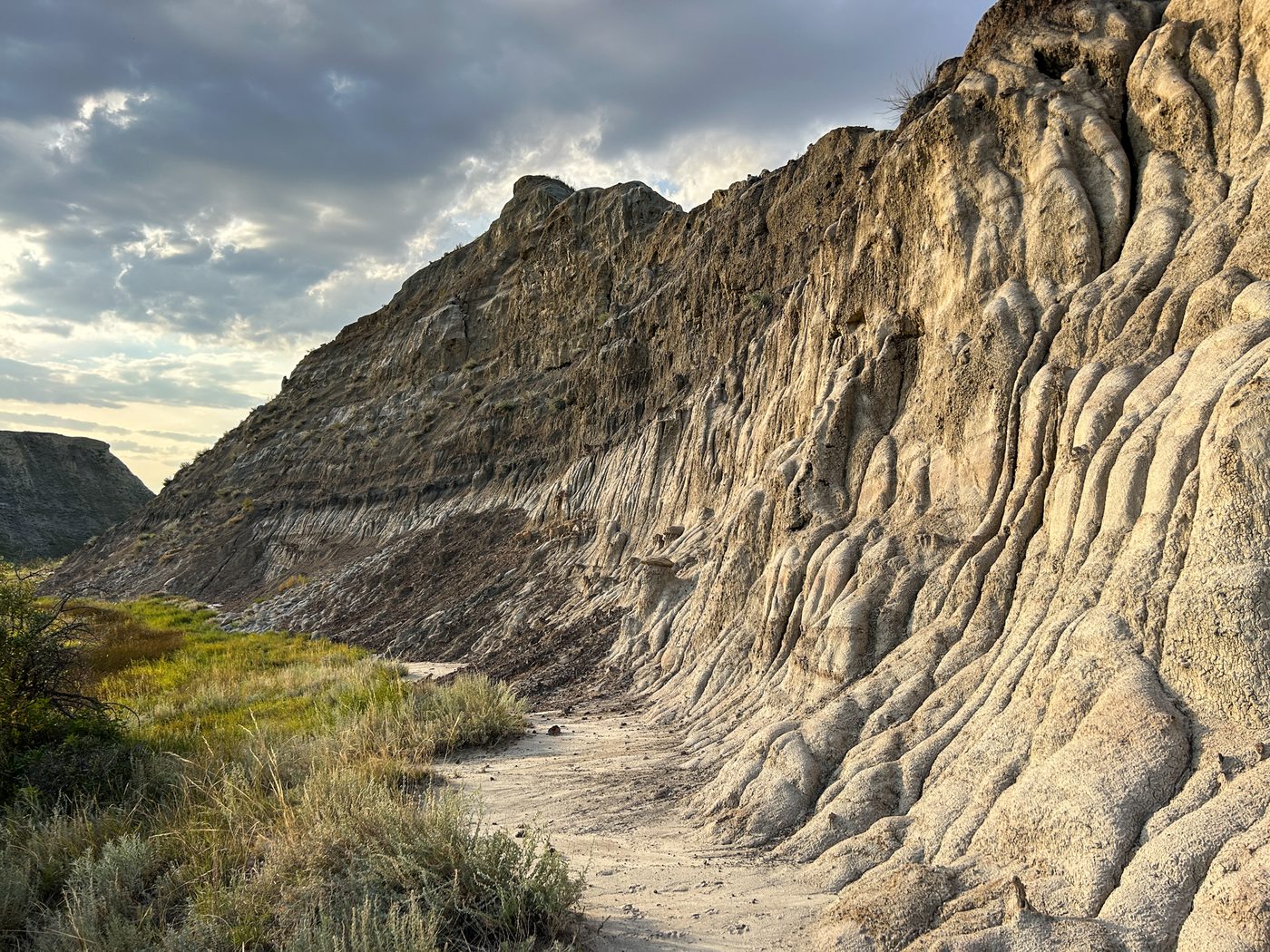
Prior acoustic monitoring in the Rosebud Valley had recorded some of the highest winter bat activity yet documented in the province. Cliff sections exhibiting suitable roosting structure were identified, but the roosting locations themselves remained unknown.
Methodology
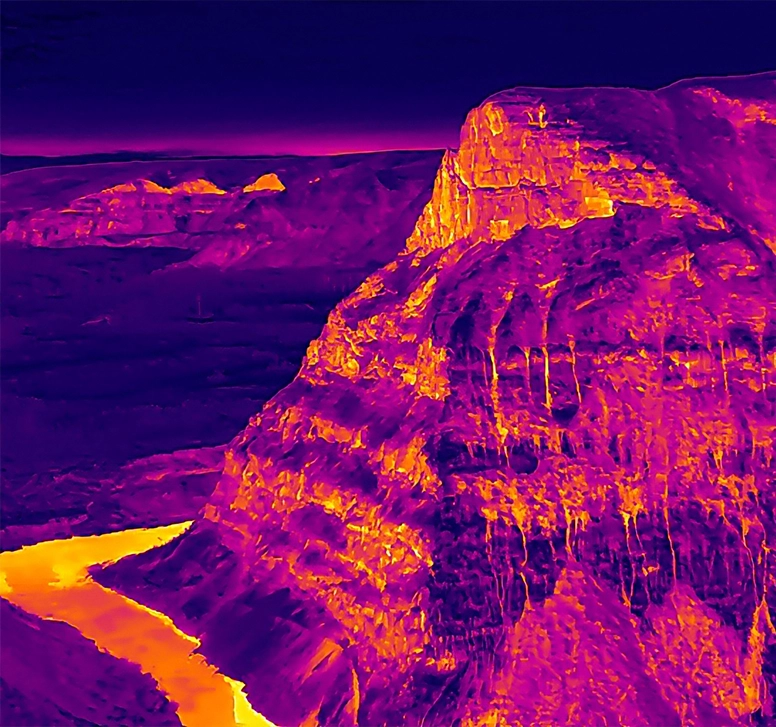
Pre-dawn survey operations were designed to maximize thermal contrast between ambient air and thermally buffered rock features, consistent with published findings that solar loading during daylight hours masks low-magnitude thermal signatures from subsurface void openings (Pérez-García et al., 2018).
A two-stage flight protocol combined standoff thermal screening at distances of 50-200 m using the live DJI RC Plus 2 display, followed by selective close approaches for radiometric confirmation. R-JPEG files were processed in DJI Thermal Analysis Tool 3 with full radiometric correction for emissivity, reflected temperature, humidity, and measurement distance.
Significance
The report represents the first documented application of pre-dawn UAV thermal screening for bat hibernaculum habitat in prairie Alberta. Ground-truthing of candidate features is planned for the 2026/27 field season.